Maps & GPX Files
Area Maps
Click on the following documents to download area maps (courtesy of Graham County and Iron Horse MC Lodge). Use as guides for planning your trip to and from the Rally, riding around the area, or setting up a group ride.
Click on the following documents to download area maps (courtesy of Graham County and Iron Horse MC Lodge). Use as guides for planning your trip to and from the Rally, riding around the area, or setting up a group ride.
|
| ||||||||||||
|
| ||||||||||||
|
| ||||||||||||
|
| ||||||||||||
|
| ||||||||||||
|
| ||||||||||||
|
| ||||||||||||
|
| ||||||||||||
|
| ||||||||||||
---------------------------------------------------------------
Area GPX Route Files
Download the GPX files and use, share, or modify as you will. Please review in your mapping software, we don't want anyone riding into a lake or off a cliff.
Note: some folks have had the gpx file open within their browser. If so, just copy it, paste it in Notepad, and save as a gpx file. Or download the Zip version and extract.
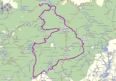
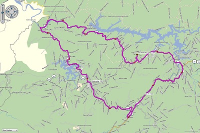
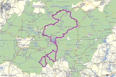
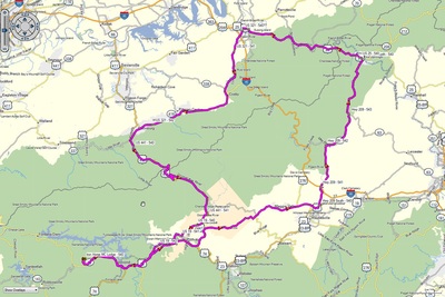
(click image to enlarge map)
|
Wheels Through Time Museum
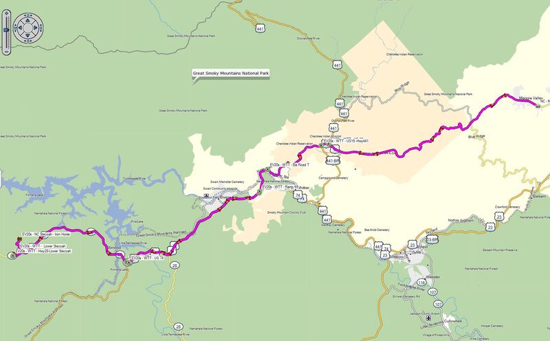
Iron Horse to Stecoah Diner and Hwy 28, Hwy 28 to US 74, to Hyatt Creek Road at Exit 69, to US 19 (Ella Road), to Wheels Through Time, and reverse to Iron Horse. Approximately 68 miles - 1.5 hours depending on traffic - time does not include any stops
| |||||||||||||
|
Wheels Through Time Museum via Blue Ridge Parkway
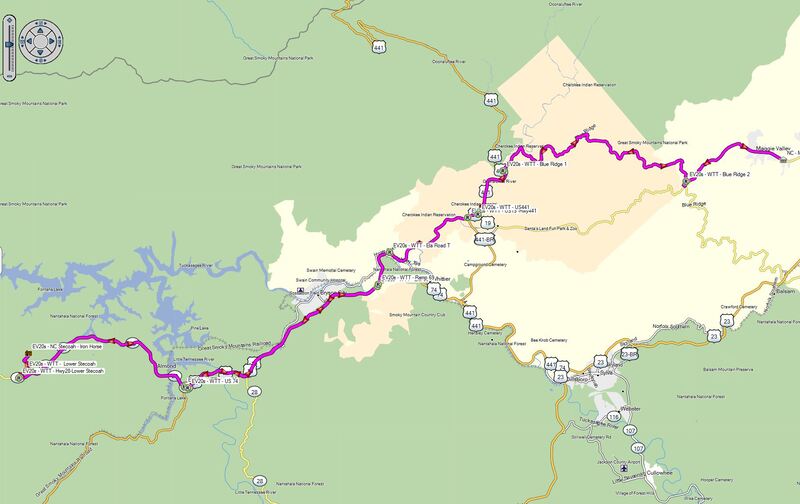
Iron Horse to Stecoah Diner and Hwy 28, Hwy 28 to US 74, to Hyatt Creek Road at Exit 69, to US 19 (Ella Road), US 441, to Blue Ridge Parkway, to US 19, to Wheels Through Time, and reverse to Iron Horse. Approximately 72 miles - 1.5 hours depending on traffic - time does not include any stops
| |||||||||||||
|
3 State (NC - GA - SC) Loop 1
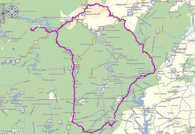
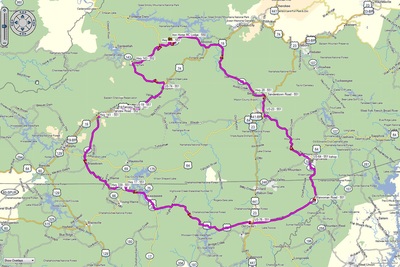
Iron Horse to Hwy 28, down to Franklin, US 23/441 to Clayton, Hwy 76 (past Bull Sluice) to Hwy 196, to Hwy 107 up to US 64, over to Parkway Road to the Blue Ridge Parkway, to Cherokee, then Bryson City, and back to Iron Horse. Approximately 208 miles - 5 hours - time does not include any stops
| |||||||||||||
|
3 State (NC - GA - SC) Loop 2
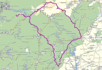
Iron Horse to Hwy 28, down most of the Moonshiner 28 to Hwy 107, up Hwy 107 up to US 64, over to Parkway Road to the Blue Ridge Parkway, to Cherokee, then Bryson City, and back to Iron Horse. Approximately 205 miles - 5 hours 20 minutes - time does not include any stops
| |||||||||||||
|
Cherohala Skyway - TN 360 - Tail of the Dragon
Iron Horse MC Lodge to the Cherohala Skyway (Hwy 143/165) to Hwy 360 then over to US 129 down through the Tail of the Dragon and NC 28 back to Iron Horse. Approximately 145 miles - 4 hours - time does not include any stops
| |||||||||||||
|
Deals Gap - Suches Loop
Iron Horse MC Lodge to NC 28 to the Cherohala Skyway via Joyce Kilmer Road, to Tellico Plains TN down to Suches, then over Wolf Pen Gap, up to Andrews NC, then Robbinsville, and back to Iron Horse. Approximately 250 miles - 7 hours - time does not include any stops
| |||||||||||||
|
Dragon - Ducktown - Cherohala Loop
Iron Horse MC Lodge to NC 28 to Deals Gap, up the Dragon, over to TN 350, down to Tellico Plains to TN 315, down US 64, over to Ducktown, up TN 68 to Tellico Plains (the Ocoee Loop), over to the Cherohala Skyway (TN 165/NC 142), and back to Iron Horse. Approximately 225 miles - 6 hours - time does not include any stops
| |||||||||||||
|
Dragon - Foothills - Great Smokey Mountain Loop
Iron Horse MC Lodge to NC 28 to Deals Gap, up the Dragon to the Foothills Parkway, up the Parkway to US 321, to Laurel Creek Road (TN 337), to Little River Road, to US 441, down US 441 to Cherokee, then on to Bryson City, and back to Iron Horse. Approximately 144 miles - 4 hours 15 minutes - time does not include any stops.
| |||||||||||||
|
Wayah Road - Helen - Warwoman Road Loop
Iron Horse MC Lodge to NC 28 to US 74, to Wayah Road, down to US 64, to NC/GA 175, to GA 17, to Helen and GA 356, over to GA 197, up to US 76 to Clayton, over Warwoman Road, to GA/NC 28, up to Frankling, on to Highland, and back to Iron Horse. Approximately 211 miles - 5 hours 45 minutes - time does not include any stops.
| |||||||||||||
|
Hellbender 28 Loop
Iron Horse MC Lodge to NC 28 to NC 129 (Deals Gap), down NC 129 thru Robbinsville to US 74, up to NC 28, and back to Iron Horse. Approximately 78 miles - 1 hour 45 minutes - time does not include any stops.
| |||||||||||||
|
Iron Horse - Six Gap Loop
Iron Horse MC Lodge to NC 28, to NC 143, to US 74, to NC 141, down to US 64, to NC 69/GA 17, to US 76, to GA 180 (Wolf Pen Gap Road), over to GA 60 (Suches), down to US 19, back up to GA 180, over to GA 348, down to GA 75-alt, GA 17 to US 76, to GA 175, up to US 64, around Franklin to NC 28, and back to Iron Horse. Approximately 235 miles - 6 hours 30 minutes - time does not include any stops.
| |||||||||||||
|
The Rattler Loop - 1
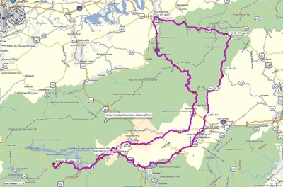
Iron Horse MC Lodge to NC 28, to US 19/74, past Bryson City, to NC 209, to US 25, over to US 321, down to US 441, through the Great Smokey Mountains, to US 19, to US 19/74, and then NC 28, and back to Iron Horse. Approximately 212 miles - 5 hours 15 minutes - time does not include any stops.
| |||||||||||||
|
The Rattler Loop - 2
Iron Horse MC Lodge to NC 28, to US 19/74, past Bryson City, to NC 209, to US 25, over to US 321, down to I-40, to US 276, to US 19, thru Maggie Valley, to US 19/74, and then NC 28, and back to Iron Horse. Approximately 228 miles - 4 hours 50 minutes - time does not include any stops.
| |||||||||||||
|
Ruby Run Loop
Iron Horse MC Lodge to NC 28 to NC 143, to Robbinsville and US 129, to US 19/74, into Andrews and old Hwy 19 or Fairfield Road (part of The Tail of the Newt, to NC 141, down to GA 339, over to GA 17, US 76 over to Clayton, over Warwomam Road to GA/NC 28, up to Highland and US 64, up to Franklin and US 23, over Sanderstown Road to NC 28, up to US 19/74, and then NC 28, and back to Iron Horse. Approximately 174 miles - 4 hours 43 minutes - time does not include any stops.
| |||||||||||||
|
Papa5-thecommonfolk Combo Loop 1
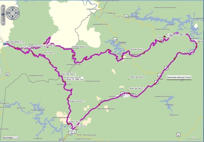
Iron Horse to the Tellico Grains Bakery for lunch via the Cherohala Skyway with return via River Road, which parallels the Tellico River for several miles, to gravel that ends at Joe Brown and the Hanging Dog community. Stopped for refreshments in Murphy before returning to Iron Horse via 19/74. Approximately 160 miles - 4 hours 35 minutes - time does not include any stops.
| |||||||||||||
